

18th Review Meeting
18TH FACSMAB Review Meeting
SINGAPORE HOSTED THE 18TH FACSMAB REVIEW MEETING
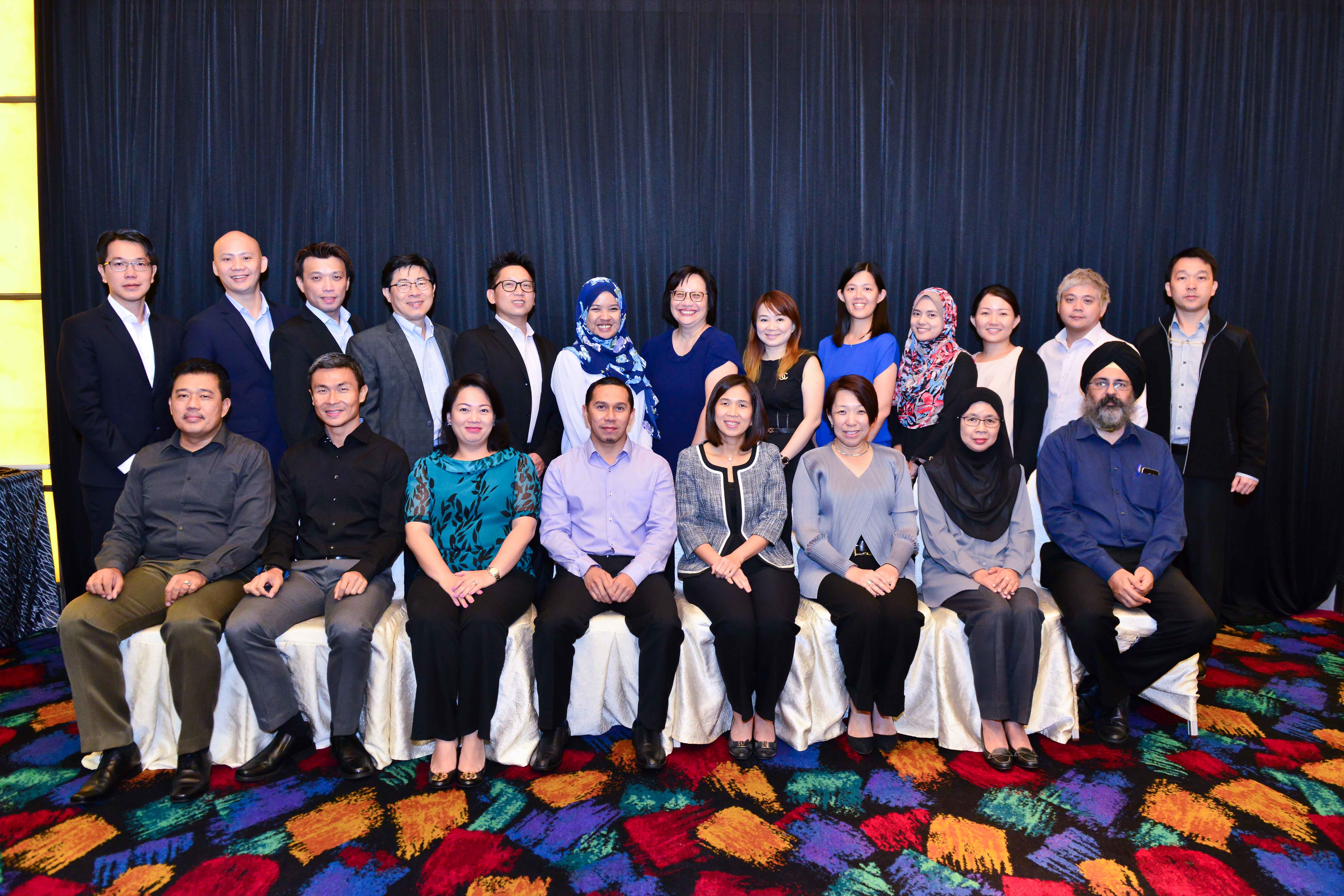
The 18th FACSMAB Review Meeting was hosted by Singapore on 16th February 2017 at Furama City Centre, Singapore. The meeting was chaired by Ms. Aileen Chia, Director-General (Telecoms & Post), Asst. CE (Connectivity & Competition Development) of IMDA and was attended by members from Regulatory Authorities from Brunei Darussalam, Malaysia and Singapore. The Malaysian delegation was led by Ms. Nur Sulyna Abdullah, Chief Officer, Corporate Strategy of MCMC and the Brunei delegation was led by Mr Haji Jailani Bin Haji Buntar, Deputy Chief Executive, Regulatory, Industry and Next Generation Network of AITI.
During the meeting, three new work items have been confirmed. They are (i) Earth Stations in Motion (ESIMs); (ii) Disaster Response Management and Communication Plan for FACSMAB; and (iii) Global Navigation Satellite Services (GNSS).
Earth Stations in Motion (ESIMs)
As there has been increasing market demand and interest in recent years for greater broadband speed, capacity, efficient and seamless connectivity to passengers on-board moving vehicles, including aircraft, ships and land vehicles, regardless of their location, satellite service providers introduced systems which typically use satellite links as backhaul for wider coverage called ESIM.
ESIM is designed to expand Fixed Satellite Service (FSS) type of applications by providing broadband services to mobile platforms (aeronautical, maritime and land). ESIM is the satellite component of the system, where user terminal with small directional antennas are mounted on aircraft, land vehicles, ships and platforms. Complimenting the system, mobile or WiFi networks can be used to provide connectivity directly to on-board users.
FACSMAB plans to study the licensing requirement, regulatory provision and operational implementation among FACSMAB member countries. Development of coordination, management and registration procedures of ESIMs at airspace, land including cross border, port and territorial seas of FACSMAB member countries. Develop interference resolution principles at FACSMAB since ESIMs may interfere with other services; and identify possible interference scenarios with respect to other services for maritime, aeronautical and land-based ESIMs.
Disaster Response Management and Communication Plan for FACSMAB
Recognising the shortage of information regarding usage and importation of telecommunication equipment during times of Disaster, FACSMAB agreed on the following action items:
- To compile existing frequency identified for PPDR communication; Existing procedures on importation of foreign equipment providing PPDR assistance
- To evaluate use of new and/or existing communication technologies to provide connectivity to the broader response community. Spectrum requirements and regulatory framework could be identified under this work item to facilitate the adoption of these technologies.
- To study feasibility of harmonised frequency bands for PPDR communication seamless procedures on importation of PPDR communication equipment, where possible to ensure preparedness for effective response to emergency situation.
Global Navigation Satellite Services (GNSS)
Global Navigation Satellite System (“GNSS”) is a generic term for a constellation of satellites providing signals from space that transmit positioning and timing data to GNSS receivers. GNSS signals are provided by a variety of satellite positioning systems, including constellations based on global, regional and satellite-based augmentation systems.
All GNSS infrastructure providers are currently working on further developing their systems, either in terms of modernisation or initial deployment. For example, GPS and the GLONASS are currently being modernised, while Galileo is in the deployment phase and set to be fully operational by 2020. Meanwhile, China is in the process of expanding its regional BeiDou Navigation Satellite System into a global one, also by 2020. To facilitate GNSS among FACSMAB countries,
FACSMAB will study the development in terms of spectrum requirements for GNSS-enabled applications; monitor ITU activities such as ITU-R WP 4C on studies related to mobile satellite services, taking into account the spectrum sharing & protection criteria; and study the possibility of frequency allocation for existing and future GNSS based services with an objective to harmonise use of multiple systems that enabling different services including the location-based and IoT services.
Note: With effect from 1 October 2016, IDA is known as IMDA